Postcode Boundaries for Mapping

Price range: £40.00 through £200.00 +vat

Download detailed UK postcode boundary mapping data for Areas, Districts, Sectors, and Full Postcodes. Instantly access ready-to-use shapefiles and optional demographics for seamless integration with GIS, Google Maps*, or OpenStreetMap. Available in multiple formats.

After purchase your files will be available for download from My Account

Example Maps using the data sets.

*not all products will be able to be imported into Google maps due to their 5mb file size limit.  Please contact us for more information.

Description

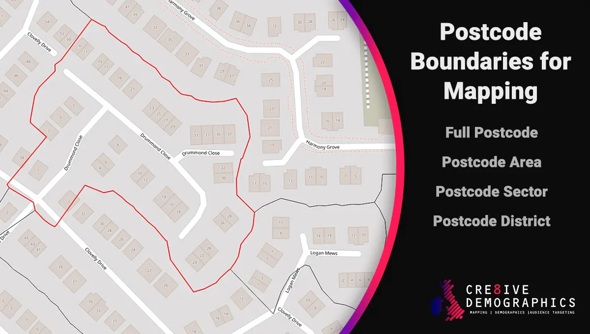
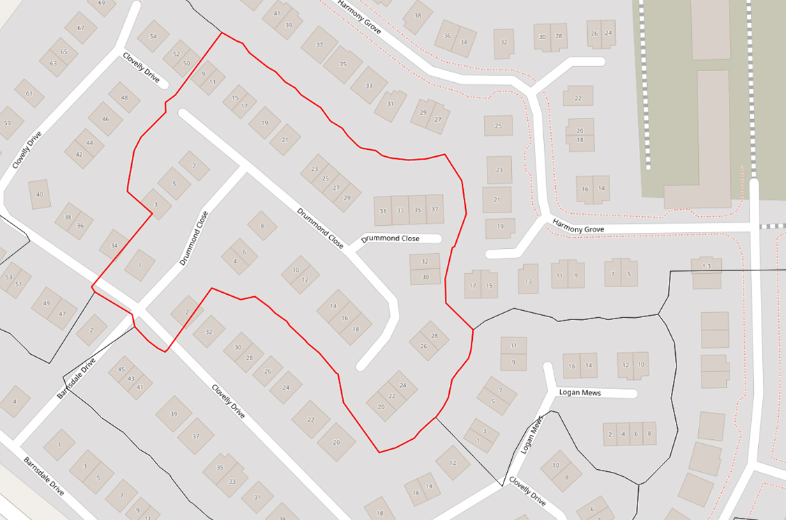
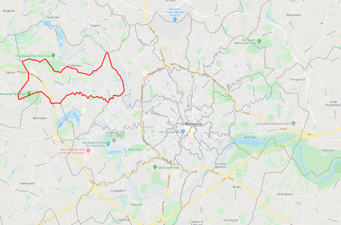
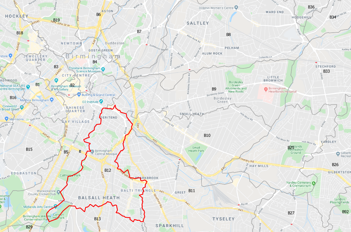
Unlock detailed UK postcode boundary mapping data with our comprehensive downloadable files. Instantly access accurate boundary maps for UK Postcode Areas, Districts, Sectors, and Full Postcodes—ideal for businesses, analysts, and developers working with geographic data.

Key Features

  • Complete UK Coverage: Includes boundaries for all UK Postcode Areas, Districts, Sectors, and Full Postcodes.
  • Multiple Formats: Download in industry-standard Shapefile (.shp) format for immediate use. Additional formats available on request: CSV, KML, SpatiaLite, and GML.
  • Demographic Mapping Option: Enhance your analysis with postcode sector mapping data that includes detailed UK demographic information.
  • Seamless Integration: Easily plot postcode boundaries in Google Maps*, OpenStreetMap, or any Geographic Information System (GIS).
  • Ready-to-Use Files: Each shapefile download includes all necessary components (.dbf, .shx, etc.) for smooth GIS integration.
Variation

Area, District, Sector, Full Postcode, All Files

Reference

Contains National Statistics data © Crown copyright and database right 2025
Contains Royal Mail data © Royal Mail copyright and database right 2025
Contains OS data © Crown copyright and database right 2025

Licensing

Postcode Sector boundaries for mapping is licenced to be used by yourself or individuals within your company and is not to be sold on

Last Updated

October 2025

Scroll to Top